23 July 2019
We can see beyond the trees
We’re using drones and satellite imagery to help local forest rangers restrict and stop illegal deforestation in Madagascar.

Madagascar is the fourth largest island in the world and contains some of the highest numbers of endemic plants found anywhere on Earth. Unfortunately, the island’s tropical rainforests have been devastated by illegal deforestation for many years.
An estimated 80 per cent of the original forest has been lost, with 33 per cent of this happening since the 1970s. Causes include commercial agriculture, energy and logging, but it is predominantly due to the subsistence needs of 18 million people.
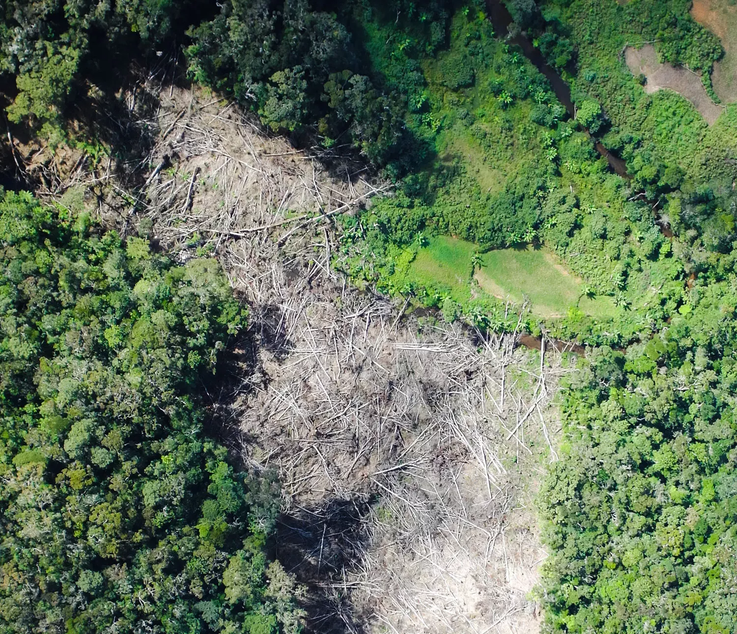
Tim Wilkinson and I recently went on a drone survey mapping expedition to the protected, and ‘at risk’ forest area in the Ambohimahamasina municipality. Classified as a 'Natural Resource Reserve', the forest comprises 20,000 hectares of biodiversity-rich rainforest. Nevertheless, mass immigration has resulted in an unprecedented increase in illegal deforestation in this area. Despite individual forest-cuts generally being small-scale (used for irrigated rice farming), they are now so prevalent that this once intact contiguous primary forest now resembles a ‘Swiss cheese’. As areas cleared by local villagers are often enclosed by forest, their understanding is that this illegal activity cannot be seen and that they will not be found out.
Our ‘eye-in-the-sky’ has now changed all that.
Drop toilets, pigs and bird attacks
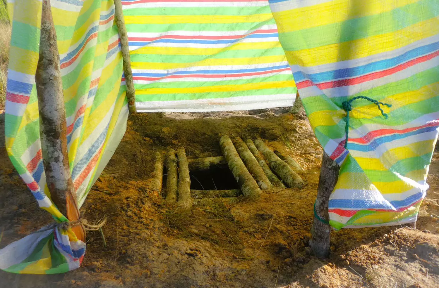
Before our mapping work could begin, we set up camp and installed a drop toilet - the first of its kind in the area and a new concept to the local people. Once we had spied out take-off and landing areas, we ran test and educational drone flights. These generally entertained the locals and scared a pig into the bushes, but also inadvertently highlighted the very real danger of potential bird attacks to our small polystyrene drone.
Is it a bird, is it a plane?
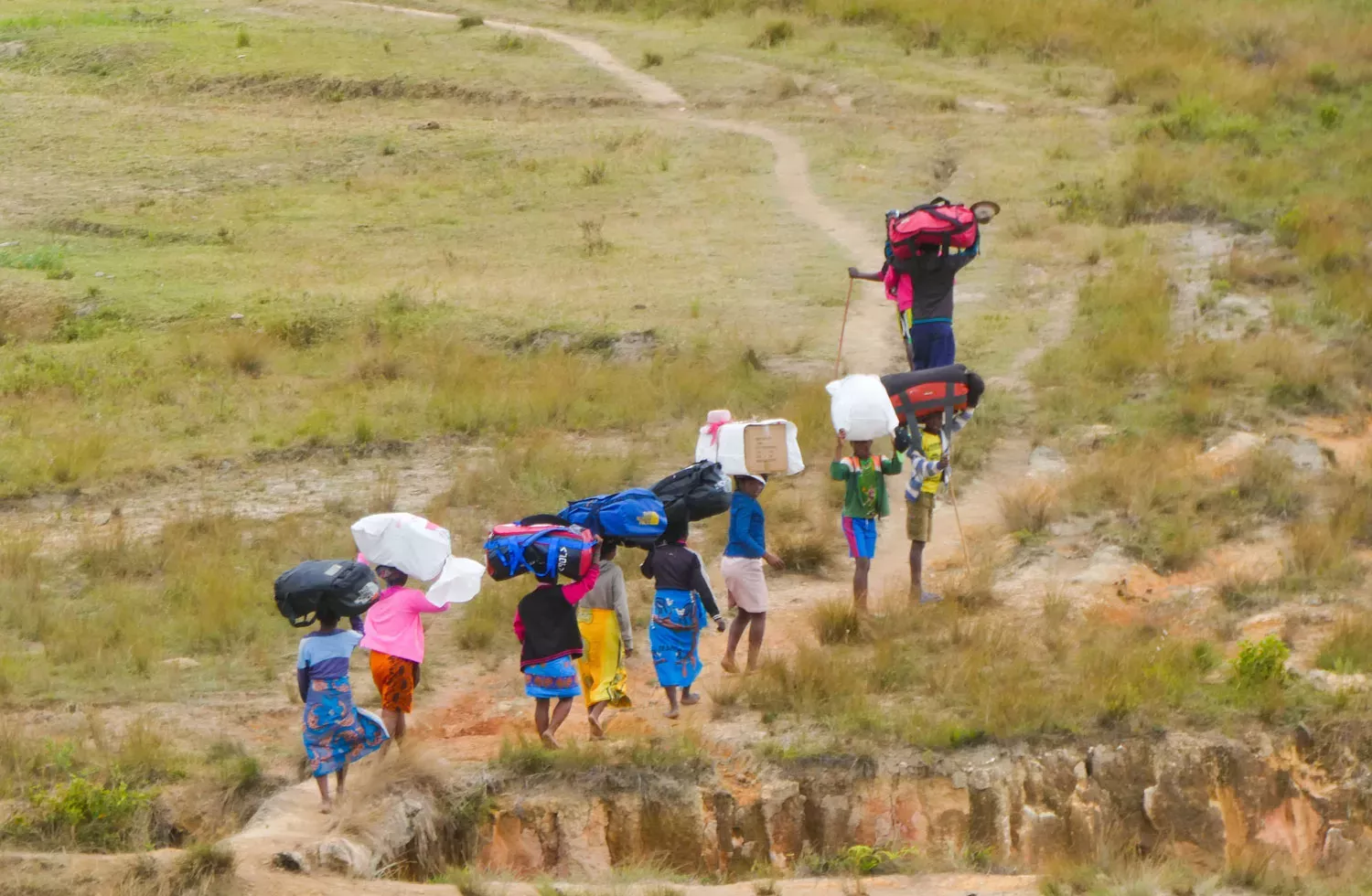
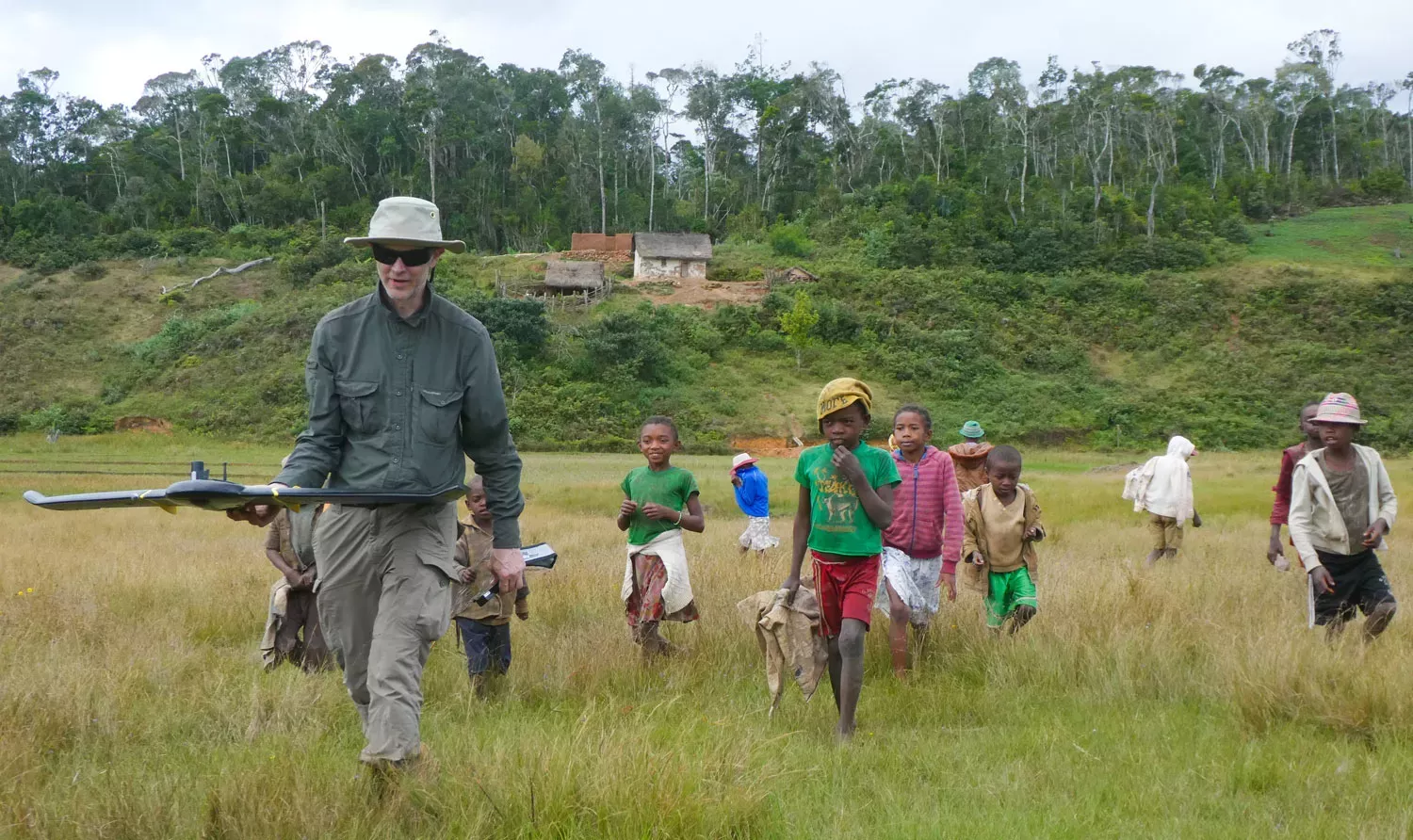
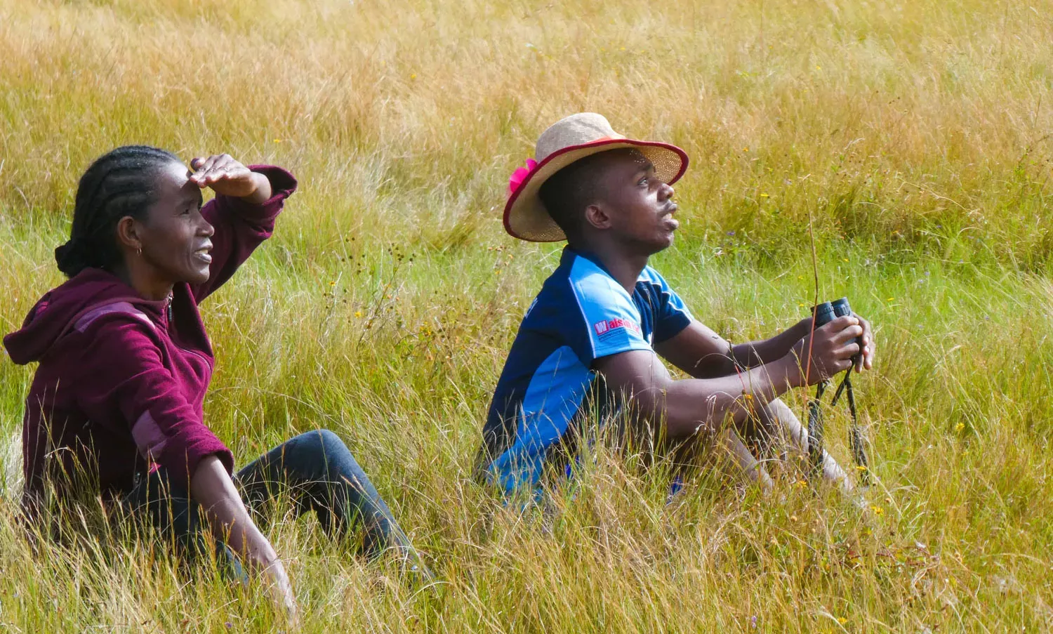
Our drone flights required teams comprised of individuals from local Madagascan communities and non-profit organisations. One team would remain with the drone pilots (myself and Tim) and the other three ‘roaming teams’ headed to separate but specific geographic locations as their base for the day. Their instructions were to radio to drone command on arrival and give accurate GPS coordinates; set out the Cornish flag (an air to ground marker - the white cross on the black background produces the most identifiable mark); take the GPS reading; and then wait for the drone to visit. The eBee mini drone with its fixed wing may look like a bird in flight, but it is in fact a small plane!
How to drone remote forests: In flight
In-flight monitoring, checks and communication between teams were constant and extremely important. Bird monitoring and weather watching were the most critical communications to be sent to me as I piloted the drone. Evasive manoeuvre commands in the form of ‘roll’, ‘rapid ascent’, and ‘rapid descent’ were sent from the laptop to the drone to avoid potential bird attacks, with ‘rapid ascent’ being the most effective in getting the birds to lose interest and eventually fly off. Low cloud would not only result in haze covering the aerial photos but also the possibility of moisture in the drone. In these instances the drone was flown away from the weather system.

Community engagement and education
During our trip, I ran a training session for the local, regional and national staff from both the Kew Madagascar Conservation Centre and Ny Tanintsika community forest management group, as well as giving presentations to the local communities. Using a generator, a white sheet and a portable projector, educational topics such as ‘why and how to use a toilet’, and ‘what is malaria and the benefits of mosquito nets’ were on the agenda, but we also showcased images taken from our drone flights. Examples of good intact forest and areas of recent destructive deforestation, so detailed that we could count the number of felled trees, were shown to the communities.
The communities and children were all very interested and involved in the droning expedition. They were pleased and honoured that we had selected their community as our base for the drone missions. They helped carry equipment, monitor the drones in flight, kept watch over our generator and battery charging station, and frequently mimicked the drone noise to our absolute confusion as we couldn’t be sure whether the ‘buzz’ was actually the drone at all. And something I will always remember - the first question they asked about the drone - "will it be able to see people in the toilet?"
These communities now have an education in forest monitoring and protection. They also have a very memorable experience of drone flight and the associated hilarity when birds are misidentified as the drone (but this works to our advantage in our absence, as any bird could potentially now be a drone watching them), but also the health legacy associated with the new drop toilet constructed in each community.
Mission and survey completion
Our drone survey mapping expedition was designed to collect detailed aerial photographs of a large 'at risk' area of forest. We managed to successfully survey over 1,700 hectares in four days, which was double the amount we had planned and thought realistically possible.
We now have a lot of data to process and analyse, forest research to undertake, comparisons to be made with satellite imagery and the set up of a deforestation early warning system which will allow local charities to prevent illegal deforestation.
Watch Jenny's talk 'Drone survey mapping' given at the Plants, People, Planet Symposium 2019.

Acknowledgements
Thanks to our partners Feedback Madagascar and Ny Tanintsika.
We are grateful for funding from the Adsum Foundation.

